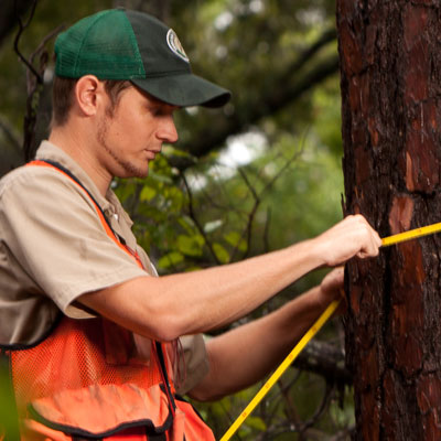
 The Forest Inventory and Analysis program can be thought of as a census for trees. After receiving landowner permission, permanently established plots across the state are re-measured every five to 10 years to determine growth, composition and mortality of forests, as well as land use changes and wildfire potential.
Texas A&M Forest Service, in cooperation with the Southern Research Station of the USDA Forest Service and Texas landowners, conducts an inventory to measure the status and condition of the forest resources in the state.
FIA provides objective and scientifically credible information that can be used to support economic development, forest conservation, wildfire risk preparedness and forest damage assessments. This information can also help you make informed decisions about managing your land based on your objectives.
Data is reported on a county, regional and statewide basis, ensuring the confidentiality of individual landowner information.
East Texas Forest Information
Central / West Texas Forest Information